AREA I
Emergency Management and First Response
– enabling rapid, precise, and safe deployment of unmanned systems to protect lives and property.
Missions
1.1
1.2
1.3
1.4
Mission 1.1
Emergency Site Management
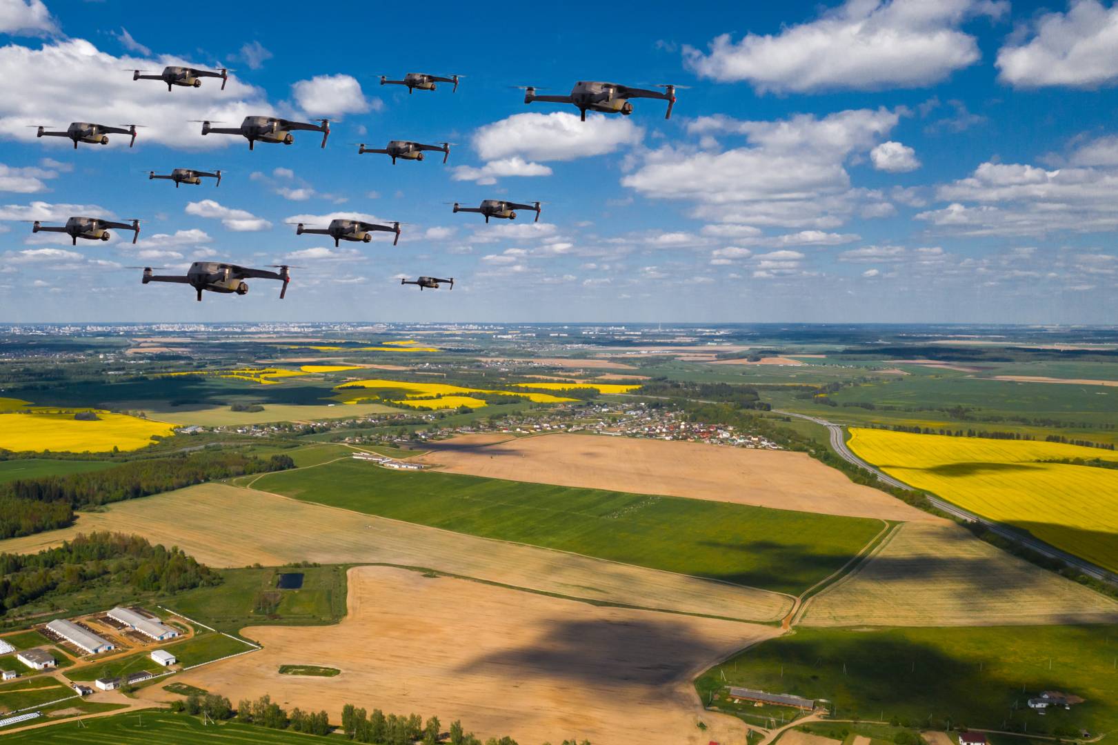
In accident or disaster zones, seconds matter. This mission deploys drones and ground robots to map hazardous areas, detect risks, and deliver real-time data to emergency teams.
Involved Partners:
NOKIA, CIMESH, YSCAN, VTT, UNIPG, LGE, GUT, SAAB
EXPECTED IMPACT
Emergency response times are shortened thanks to fast aerial mapping and live alerts before human teams arrive. Better situational awareness increases safety and efficiency of responders, even in smoke, darkness, or adverse weather. The mission also supports regulatory acceptance of safe, cyber-secure autonomous drones in first-response operations.
DEMONSTRATOR
A multi-drone UAV system (Nokia’s automated drone pods) will be tested in a city scenario, connected over 5G. Drones will launch from automated docks, fly to a simulated emergency, and stream live video, LiDAR, and sensor data to emergency services, showing how workflows can be accelerated.
Mission 1.2
Wildfire Management
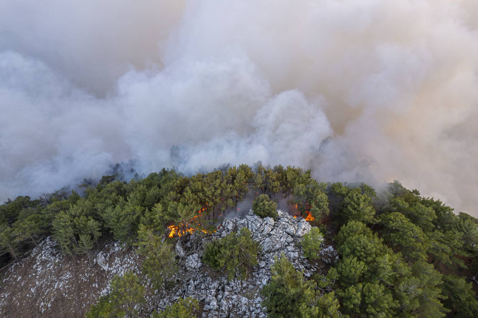
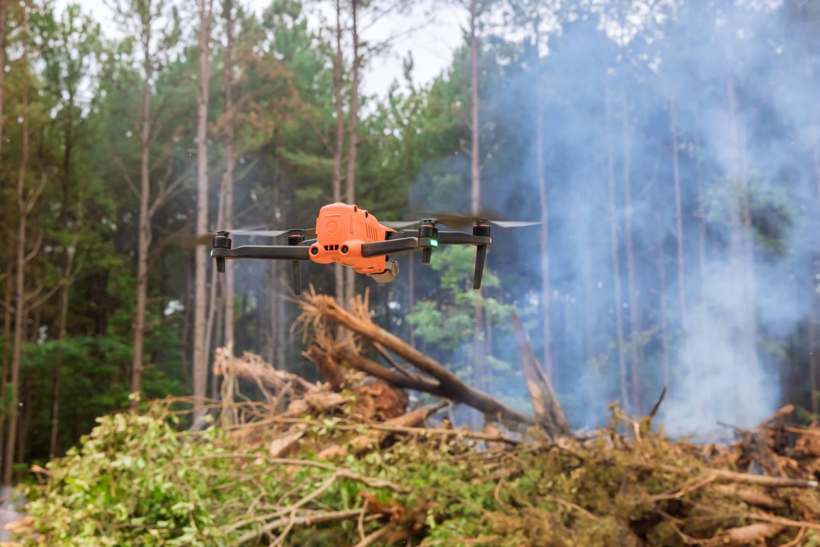
Drones equipped with advanced 360° thermal and radar sensors scan post-wildfire landscapes for hidden “hotspots” that could reignite, providing firefighters an autonomous tool to prevent flare-ups and monitor large burn areas.
Involved Partners:
FHG_IZM, NOKIA, ISENT, WE, VIA, CSEM, NVDIA, RTU, HMAN, SED
EXPECTED IMPACT
Fire services gain the ability to monitor burned zones autonomously and continuously, without costly manned flights or risky patrols. Early hotspot detection prevents flare-ups and protects firefighters. The system goes beyond current market capabilities and strengthens Europe’s resilience to wildfires.
DEMONSTRATOR
A Nokia drone platform with 360° radar/IR payload will patrol a test site. It will alternate between high-altitude scanning and low maneuvering under trees, sending hotspot alerts to a ground station. Local fire academy involvement ensures realistic validation for firefighting use.
Mission 1.3
Search and Rescue
In remote wilderness and waters, AI-powered robots team up to save lives. Drones with hyperspectral vision scour forests for missing persons, while an unmanned boat scans murky waters with LiDAR – together covering terrain that is dangerous or impossible for human search teams to patrol continuously.
Involved Partners:
VTT, GUT, NOKIA, IMEC, CSEM, SZTAKI, SAAB
EXPECTED IMPACT
Search-and-rescue operations become faster, safer, and more effective. Drone swarms with AI-driven detection can cover far larger areas and spot missing persons sooner, while unmanned boats reduce the need for divers in hazardous waters. This approach can save lives and resources and demonstrates European leadership in rescue robotics.
DEMONSTRATOR
Two real-world tests are planned: (1) VTT will use drone swarms with hyperspectral cameras in Finnish forests to simulate locating missing persons; (2) GUT will demonstrate a USV with flash LiDAR to find a submerged target. Results from both domains will be integrated into one SAR control system.
Mission 1.4
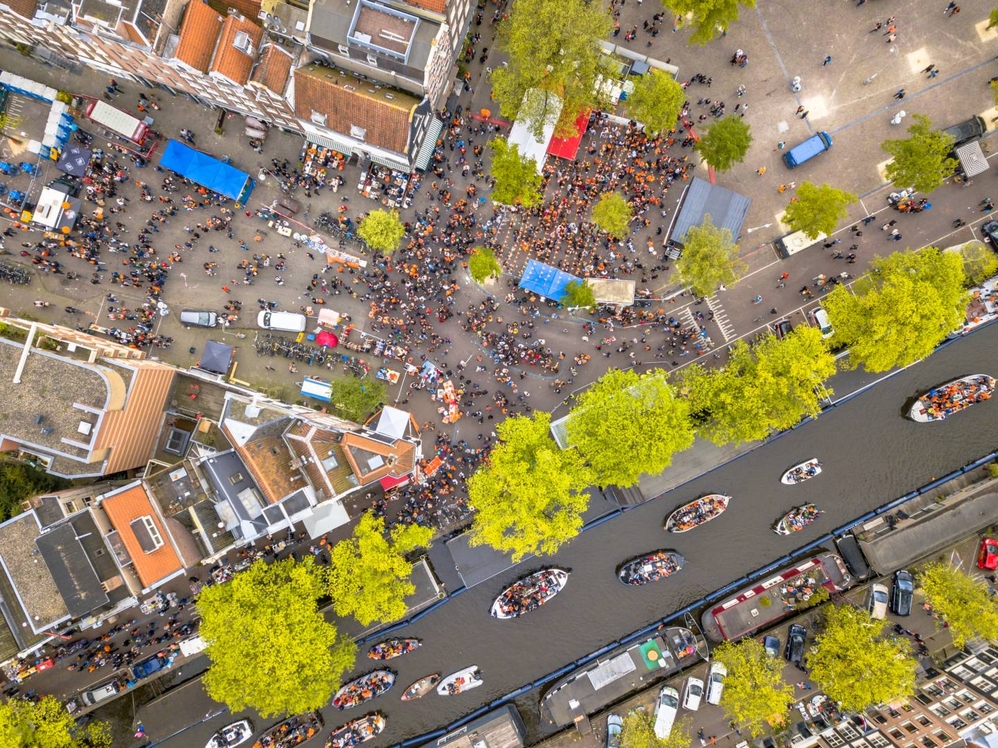
Crowd Monitoring
Large public events can be monitored by far fewer people when drones, AI analytics, and secure communications converge. This mission demonstrates a “surveillance-as-a-service” drone platform that can autonomously watch over crowds – detecting suspicious behaviors or incidents in real time – and instantly share data with authorities over a trusted network.
Involved Partners:
SKYAB, SAL, CISC, RSA, AITEK, UGR, SZTAKI, DIM, NOKIA,
EXPECTED IMPACT
Cities and venues can enhance safety and manage crowds more efficiently, with AI filtering data and highlighting threats in real time. This reduces staffing needs, speeds up emergency responses, and overcomes privacy and security concerns by using trusted communication. It also opens the door for affordable, on-demand surveillance services for smaller municipalities and event organizers.
DEMONSTRATOR
In a staged crowd scenario, SKYAB drones will survey participants while AITEK’s AI software analyzes video feeds. Events like intruders or accidents will be flagged automatically and sent over secure SAL and CISC communication systems to a control center. DIM’s analytics will maintain connectivity, and RSA’s tools will ensure secure, compliant data handling.